Aerial Roof Inspection Using Commercial Drones
Problem:
The client required a roof report to determine if it needed to be replaced and the extent of damage. A comprehensive visual inspection of the entire area was essential although putting a person up on the roof to inspection in the traditional method was dangerous as there were sections of the roof that were deemed unsafe. High Exposure was engaged by the client to provide a drone roof inspection which would allow a contextual view of the roof in high detail and easily spot defects and then be able to reference these areas when it came time for repairs.
Solution:
High Exposure have completed hundreds of roof inspections and have formulated a process through trial and error to deliver a highly contextual and useful product when determining roof defects.
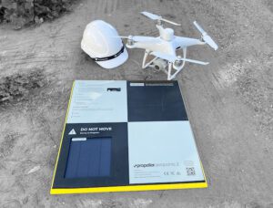
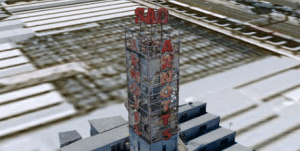
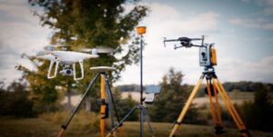
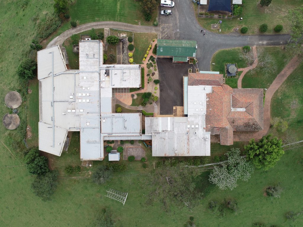
In order to provide context to the exact location of each image on the roof, an aerial map using a drone was created of the entire structure. A particular capture method at specific heights, image overlap and camera settings is first initiated which is then later processed and orthorectified using photogrammetry software.
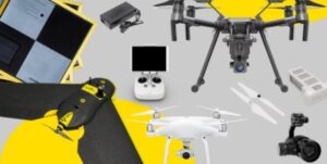
A close visual inspection of the roof using a commercial drone is then carried out using a systemic and comprehensive process.
Outcome
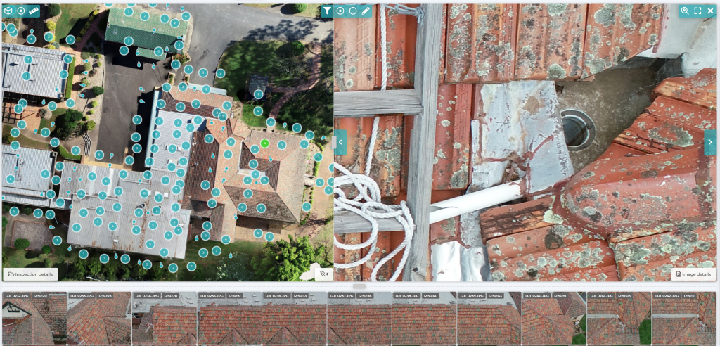
Using an analysis tool High Exposure was able to provide a deliverable that overlaid each image onto the aerial map that was created. This allows the assessor to view each captured image and understand where on the roof it was taken from. Not only does this enable a fast and effective method of identifying roof defects but it also allows annotations. Therefore, the assessor is able to categorise, describe and report on each defect found on the roof. Upon completion a report can be generated which provides the images, locations and defect descriptions. Using commercial drones for roof inspection combined with best in class analysis software, assessing your assets has never been easier, safer and cost efficient.
You can view an example of the above deliverable in the link below
Roof Inspection Deliverable Example
Contact High Exposure if you are looking to improve the way you conduct roof inspections.