Drone Inspection & Digital Twin – Commercial Building
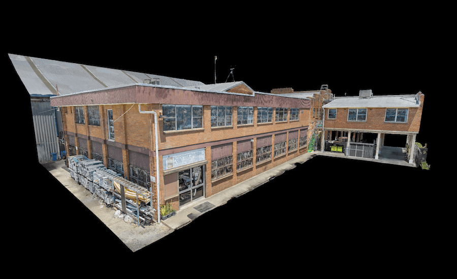
High Exposure was engaged to undertake a significant project to create a high-resolution aerial photogrammetry 3D model for a thorough inspection of brickwork on the
High Exposure was engaged to undertake a significant project to create a high-resolution aerial photogrammetry 3D model for a thorough inspection of brickwork on the
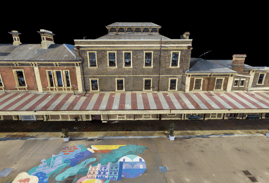
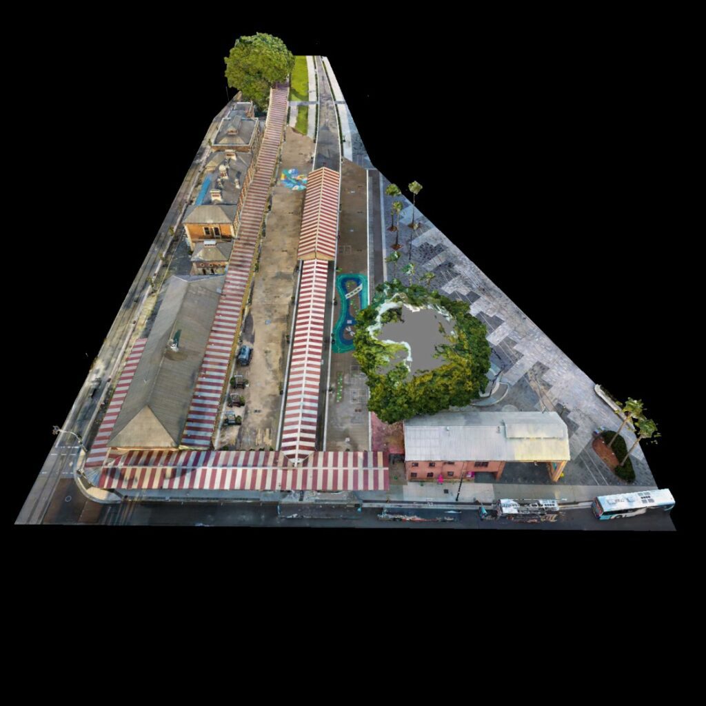
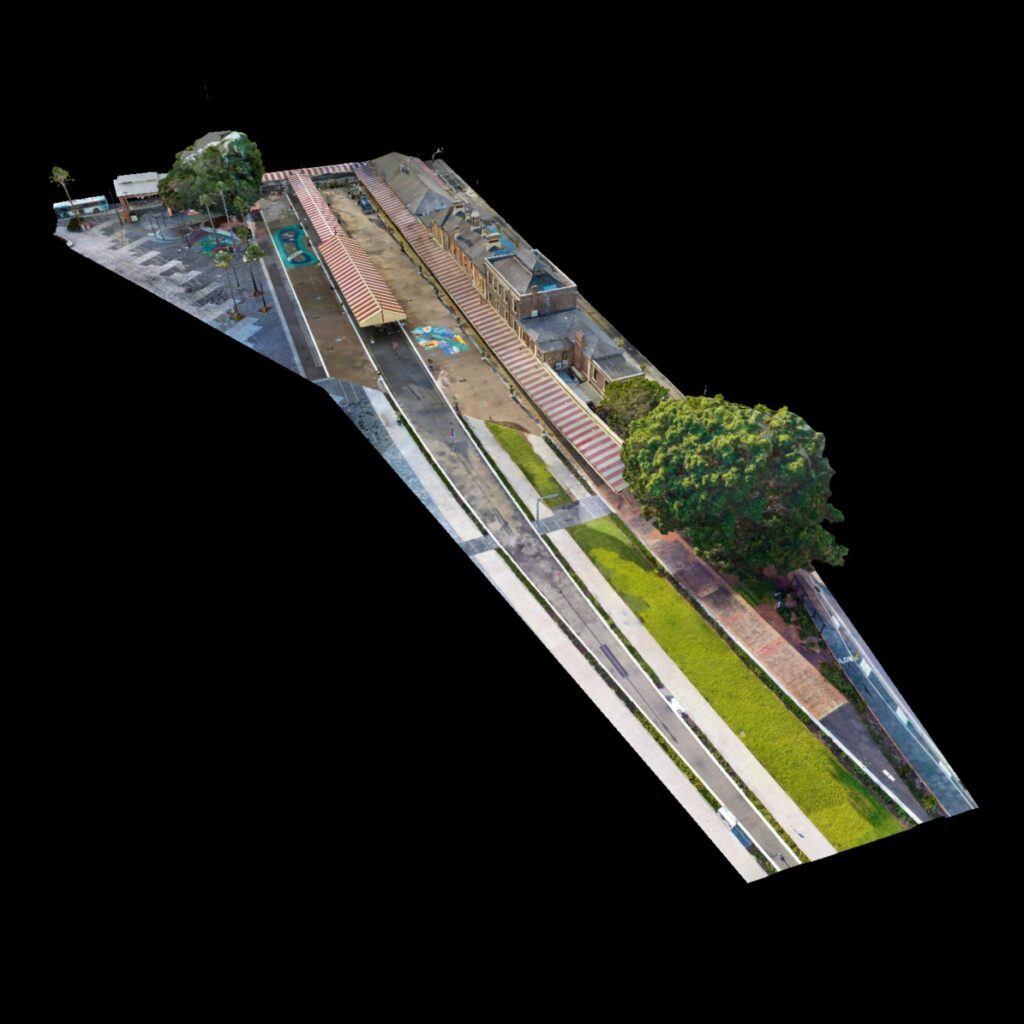
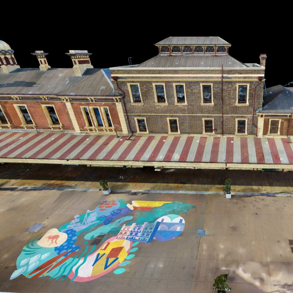
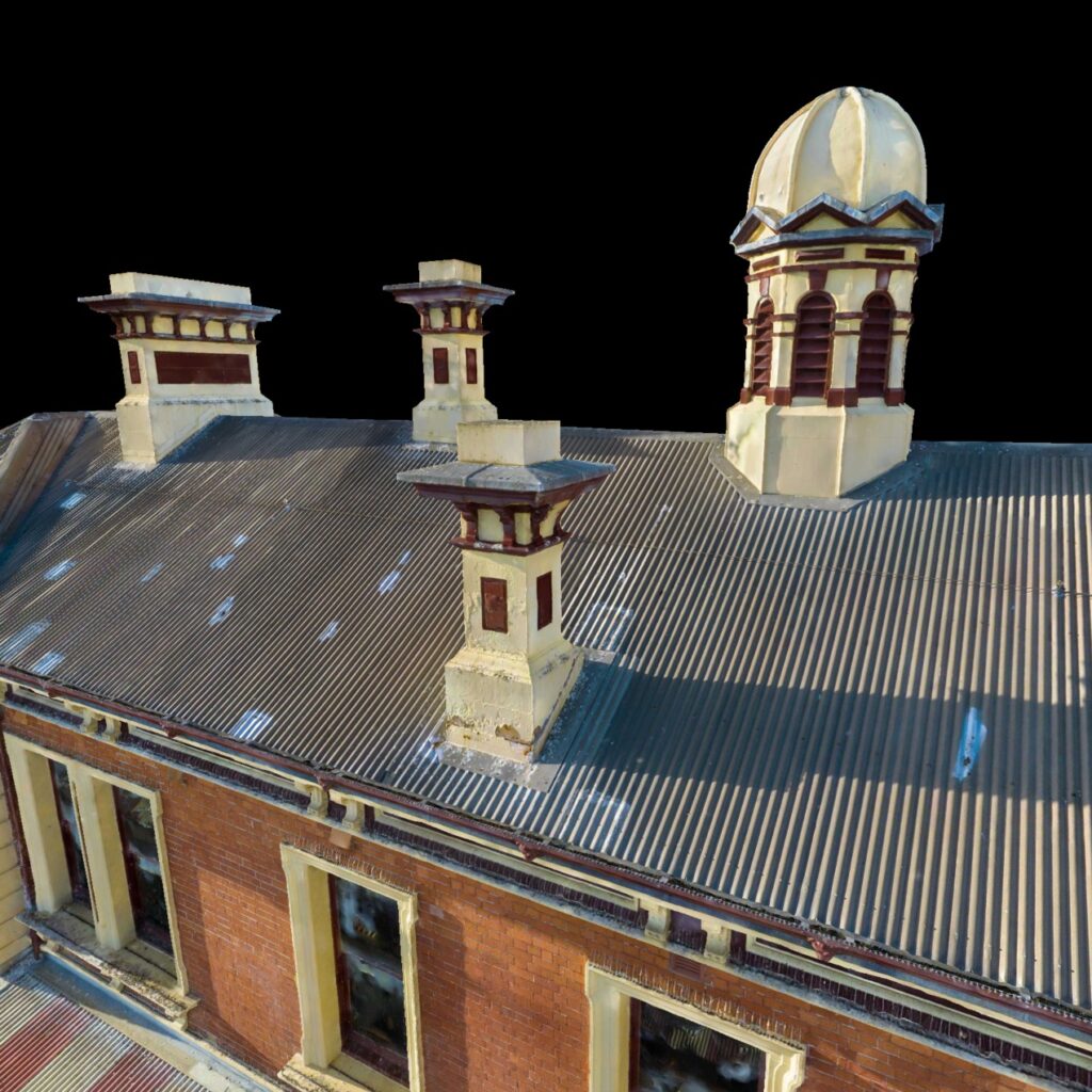
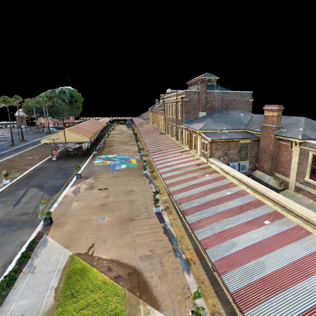
High Exposure, a leading provider of aerial surveying and photogrammetry solutions, was contracted to undertake a comprehensive survey of the Old Newcastle Station. The council
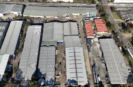
High Exposure was enlisted to conduct a comprehensive roof inspection for a 20,000m² warehouse as part of a due diligence process before the property’s purchase.