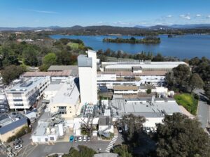
Drone Roof & Facade Inspection – Australian National University Canberra
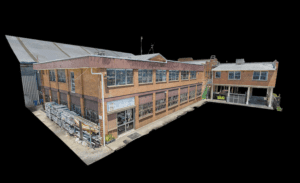
High Exposure was engaged by the main contractor overseeing the remedial repairs of Australian National University in Canberra to assist with assessing damages to a
High Exposure was engaged by the main contractor overseeing the remedial repairs of Australian National University in Canberra to assist with assessing damages to a
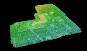
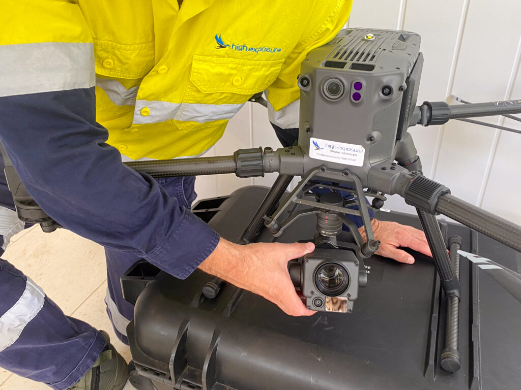
High Exposure Commercial Drone Services undertook an aerial survey at the 250-hectare Gregadoo Waste Management Facility, employing drone photogrammetry and LiDAR capture techniques. The primary
High Exposure was engaged to undertake a significant project to create a high-resolution aerial photogrammetry 3D model for a thorough inspection of brickwork on the